PCS® Insights
Sharing Industry Knowledge, Lessons-Learned and Published Presentations
Engineer Meets GIS Specialist
Innovations in Construction Methodology
It’s no secret that collaboration breeds innovation.
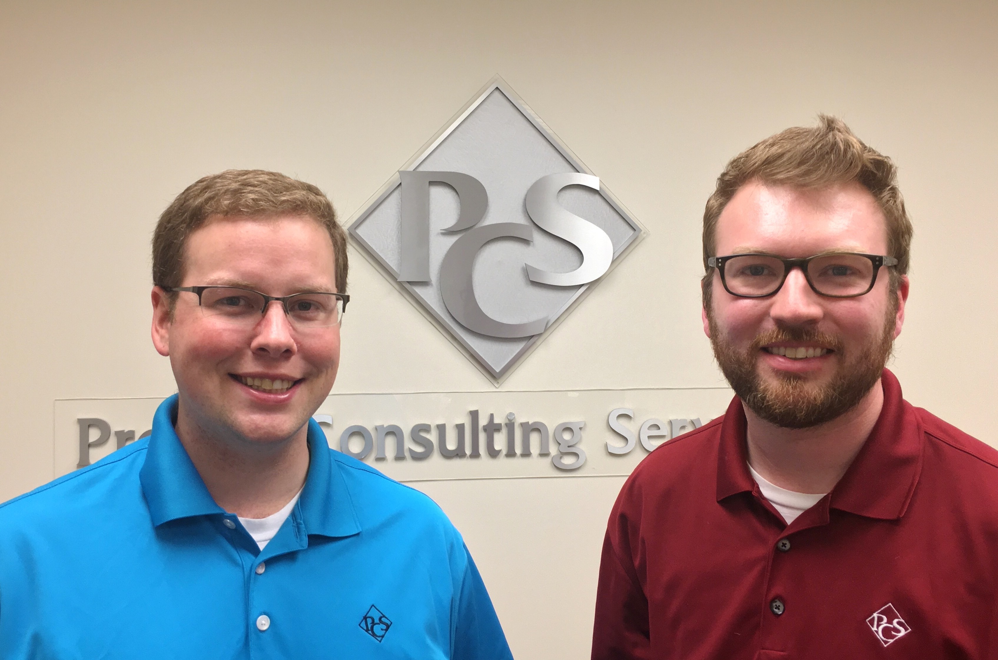
A great idea remains an idea unless it has people behind it who can contribute their expertise to making it a reality. Wilbur and Orville Wright worked together to create the first fixed-wing aircraft, revolutionizing aviation. Marie Curie, with her husband Pierre, developed the theory of radioactivity, discovered two elements, and was awarded two Nobel Prizes. More recently, Matt Clickner and Justin Driver have collaborated to develop faster, more accurate ways to perform pipeline design engineering tasks and analyses.
Watch the video below to learn more about Matt and Justin's pioneering process of construction methodology and material design development:
Matt, as an engineer, what inspired you to start using GIS? How has it benefited you?
Matt: I’m an engineer by education and trade but am part of the project management group. So I’ve had exposure to both, which I think has played a big role in helping to develop some of this construction methodology and development design work.
The inspiration for starting to use GIS was [a project in which] we needed to increase our efficiency with data creation, analysis, and design engineering tasks. The tasks, done manually on the alignment sheets, needed to be done quicker and earlier so that when we got to the alignment sheets the data flowed more smoothly.
Justin, you’re a GIS analyst and our main developer. Can you explain what a custom geoprocessing tool is?
Justin: The custom script tools I’ve worked on are basically automated processes designed with Python (a scripting language). The scripts are used to manipulate, customize, and tie together out-of-the-box ArcGIS geoprocessing functionalities. There is more work on the front end to create one, but once complete, you can use it countless times. [Running a tool] is very quick - for example, a process that would take a day to do [manually] can get down to ten minutes.
What are the benefits of you guys combining your areas of expertise?
Justin: Matt knowing GIS is important, because it is a huge part of him understanding what we can do. Even if I don’t always understand the engineering side, I can ask him the nitty-gritty questions. I can come down the hall and ask him “does this make sense?”
Matt: The reverse of that is true as well. Justin knows the spatial and coding elements of this way better than I do. He is able to take the goal I am trying to achieve and relate it back through a tool. We both have been able to take ownership of these processes on both sides, Justin understanding enough of the engineering to get the tool put together, and me understanding the tool enough to feel confident that we can move forward with it as part of our design element.
As a basic primer, what does your construction methodology and material design development process help determine?
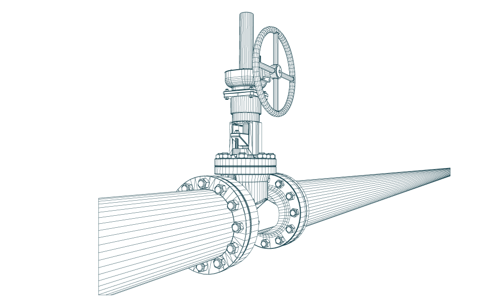
Matt: As zoomed out as you can get, this process helps determine material placement throughout the pipeline, typically from site to site. At the moment, this is meant for pipe to be evaluated for alignment sheets. It helps select what pipe weight, coating, and length goes where, what methodology you are using, start and stop of bores. The class location tool that we have in-house helps select what pipe weights to use, based upon the pipe specifications coming from engineering, project management, and the client.
Our process uses engineering and project design criteria to develop a spatial product, which can then be used to create the alignment sheets and populate all the material bands. It allows you to do quicker pipe material quantity takeoffs and gives you access to your design data much earlier than you are used to; normally this information is unavailable until the alignment sheets have been cut, but this data goes towards developing those alignment sheets so it is readily available and accessible from the start of the project.
Have there been lots of changes made to the process as you have developed it?
Matt: Constantly. The process is only as good as the tools that define it and develop it. It’s certainly a living and breathing process that will continue to develop; I don’t think it will ever stop.
What value does your process bring to the industry?
Matt: The largest [value] that I have seen is the traceability of the design; being able to go back and see how things were developed and why. The second biggest value I have seen is how early on you can get a handle on the design and material information.
Having this information up front and available to multiple people makes it a much more open process. Getting a project manager in on the front end to learn how the information is developed may affect their understanding of how the project works. Vice versa with engineers - having engineers understand that there is a real world impact. Don’t sacrifice design, but optimize design for the sake of the project.
It’s not just the same result done in half the time: it’s a better product, done quicker.
Do you see any additional areas where engineering and GIS could work together?
Justin: I think there will be more opportunities in the future for project management solutions. I see GIS as a technology and an expertise that can provide solutions to multiple disciplines. I think that one of our goals is to continually improve; definitely to improve what we already have, and to come up with new solutions.
Matt: I’m interested to see how the real world use of this data, that is right now just on computer and paper, can actually affect the construction of the pipeline. I think that GIS can help the client better manage As Built data, so that they know what they have in the ground once it is up and running. If you think about the life of a pipeline, the construction and design may take two to two and a half years and then it runs for fifty, so forty years down the road, how can we help the operator?
Also, it’s interesting to see how or if we can provide our line pipe design information to contractors and/or inspectors . They can have the paper alignment sheets or a tablet where they can zoom in on the current locations to verify the contractor is using the right type of pipe and that the field bending angles are correct.
We see someone else who is doing something that seems very expensive and we probably could do it cheaper in-house. Just put Justin behind a computer and let him figure it out. That’s been the goal so far and it’s been working really well. The more we work on it, the more stuff that will come out of it, which is fun to see.
How important has it been to have the support of individuals in other groups?
Matt: Very. Justin and I have limited pipeline experience, as far as construction and design goes.
Justin: We’re young dudes.
Matt: Being able to rely on someone that knows compliance and integrity, someone who knows design codes, being able to refer to them to make sure that not only what we are doing passes their criteria but that we understand what we are doing. We want to walk through our own personal processes so that we can take ownership of it. We don’t want to have to defer to someone else, we want to stand in front and say this is how we developed it, this is what it does and this is why it works.
Justin: Our successes have earned trust that we can come up with a product that is going to help in the larger goal of getting information to the client and getting the pipeline into the ground. There is a level of trust but that doesn’t mean that we are the only eyes on this stuff. It is being checked by multiple people that have a lot of experience with this stuff and it’s getting signed off on. And to know that they are behind our efforts is very satisfying.
Matt: It’s been interesting balancing being given trust and a healthy amount of oversight, because not much gets past PCS without filtering through someone who is looking at it with a fine-toothed comb. Which I’m thankful for, to make sure we are doing our jobs right.
Final question: who would you thank in your Oscar’s speech for Construction Methodology?
Matt: My wife, God, Leonardo DiCaprio. That’s it.
Justin: Jeff Richardson is a big part of this, believing in GIS technology and also us as PCS employees. John Davis has opened up my time so I can work on these things. Of course everybody within the GIS group has in some way pitched in.
Matt: People who are willing and able to open up and let this process work on their project- that’s the only way it gets better, by doing it over and over.
Being part of the project management group, I would also add Leon Proper for wanting to put resources, time, and energy towards this and [enabling] me to go down to Metairie and talk to Jeff in person. Also Barry Frederick, who normally defers to Jeff design-wise, but has been very open; as long as it provides a good solution, he is happy to use it.
And Justin- I would say without a doubt that someone else could have done my job, but I don’t think anyone else at PCS could have done Justin’s job on this one. There is a huge knowledge base there; he can take a general goal of what we are looking for and write line after line of code to develop something that works.

Learn more about PCS's GIS and Engineering groups
Article Details
Author: Allegra Yeley
GIS Analyst
PCS® Atlanta
More Information
Contact Us
We would appreciate any opportunity to assist you, and to connect you with the right person at PCS ® to address your needs and answer any questions.
Request Info Call Us 1-800-643-8306